





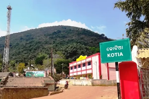
Kotia map row: Odisha Government fast-tracks process to correct Google Maps boundary error
Jayapur (Koraput): The alleged incorrect depiction of Kotia’s boundary in Google Maps has emerged as a sensitive issue, prompting the Odisha Government to expedite the process of ensuring that the region’s administrative boundary and identity are accurately reflected on digital mapping platforms.The issue assumes significance as Kotia, located in Koraput district, has long been at…